French Wildfire Creates Rare Fire Storm Cloud
Tuesday, 2026/07/28230 words3 minutes2178 reads
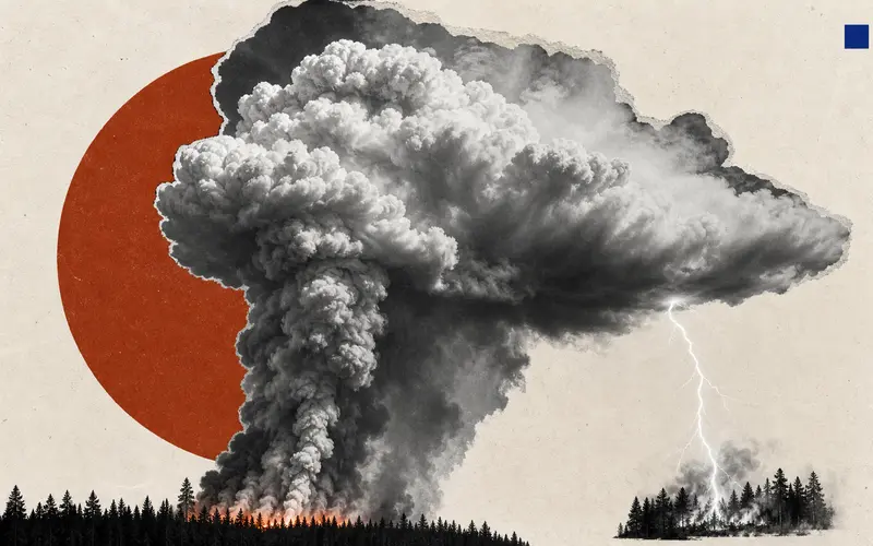
The wildfire that erupted near Saumos in France's Gironde region on July 22 demonstrated a disturbing feature of the most extreme fires: they can generate their own weather. Intense heat from the blaze lifted smoke, ash, moisture and hot air rapidly into the atmosphere, forming a towering pyrocumulonimbus cloud, or fire thunderstorm.
Unlike an ordinary smoke plume, a pyrocumulonimbus can become a highly unstable weather system. It may produce powerful winds, turbulence and lightning. Associated Press reported that lightning from the cloud ignited further fires, creating a dangerous feedback loop in which the fire helped generate conditions for its own spread.
The Saumos fire burned more than 420 square kilometres of forest and scrubland, while more than 240 homes were damaged or destroyed and roughly 220,000 people evacuated. In such conditions, the speed and direction of a fire can shift abruptly. A direct assault may be unsafe or ineffective, forcing emergency crews to concentrate on defending communities and critical infrastructure.
Pyrocumulonimbus clouds remain unusual in Europe and are generally linked to exceptionally intense fires. Hot, dry conditions can make landscapes more vulnerable to wildfire, but a single event has many immediate causes and should not be attributed to climate change alone. The wider lesson is practical: as fires become more extreme, emergency planning must account not only for flames on the ground, but also for dangerous weather created above them.